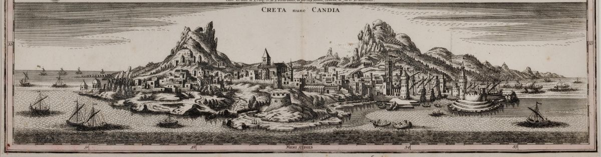
The Archaeological Museum of Heraklion is organizing another event on Wednesday, November 18, 2026, as part of the temporary exhibition *In the Middle of the World*. Crete in European Cartography from the 16th to the 18th Century: Representations and Identities.
The speaker is Dr. Eleni Gadolou, a Surveyor and Civil Engineer with a Ph.D. in Geography specializing in historical cartography. The landscape is the first thing one must understand to grasp history. Geography is what reigns supreme. It is everything: the anchorages, the harbors, the valleys, the mountain passes… Everything can be geography, since it often determines the distribution of the population. A deserted Crete has never existed throughout the centuries. However, where and how a village or city is established is always determined by the direction it must “face”—across the open sea, across the vast ocean toward the opposite, whether near or far, that are of interest to the inhabitants—and, above all, to those among them who wield power on the great island.
Was the creation of maps of Crete during the 16th through 18th centuries simply the result of drafting or geographical knowledge, or was it based on a constantly evolving set of geodetic methods, instruments, and measurement techniques? The lecture examines the technology that enabled cartographers to transform space into measurable and mappable information: from measuring distances and angles and determining geographic coordinates to trigonometry and the use of geodetic instruments. Through representative examples of maps of Crete, the transition from descriptive and empirical cartography to scientific or mathematical cartography is presented.
Date: Wednesday 18 November 2026
Time: 18:30
Venue: Archaeological Museum of Heraklion – Lecture Hall
Free Admission
The lecture is to be broadcasted live via YouTube: https://www.youtube.com/live/



Leave A Comment