
The “journey” to Agia continues following the steps proposed by the Municipality to introduce visitors to the nature, cuisine, activities, beaches and mountains of the area.
The Municipality of Agia launches a series of proposals for the summer of 2025. With its 45 km coastline, its endless destinations, the beauties of Kissavos and Mavrovouni, and its vast cultural heritage, the Municipality of Agia proposes 45 “steps” for this summer’s visitors, for 45 days from July 1 to August 15.
Each destination, each kilometre for each day, becomes a “travel guide” for visitors who have the intention to discover or remember the beauties of the Municipality of Agia.
Every day, a new destination or an activity filling the summer of the visitors of the region with unique experiences and suggestions for relaxation, tastes and recreation.
Polydendri Forest
Step#8 Polydendri Forest (Former Royal Estate)
At the center of Myths, Traditions and History, the former Royal Forest of Polydendri, covering an area of thirty-five thousand acres of which several coastal acres, with amazing beaches, invites its visitors to join an idyllic “journey” to the verdant Mavrovouni.
Known as the country estate of the former royal family, it is about 45 km from Larissa. It is located on the slopes of Mavrovouni, with a peak altitude – Skoutli-1054m.
It has been declared by the European Union as a National Park throughout its entire area.
Step#9 Agioκampos Beach
An authentic coexistence of the old era with the image and needs of today. A shoreline of pebbles and sand that starts from the port of Agiookampos (“Blessed place”) and is the second longest straight beach in Greece along with Sotiritsa and Velika. The remains of older times, the castle above the harbour, the “Xerxes’ Steps” and the arched bridge built during the years of Turkish rule, the stream of Bourboulithra with the royal pedestals and the newer bridge of Kalatrava physiognomy complete the same seal of the unchanging coexistence of new and old.
Agiokampos Beach
Step#10 Skiti
The name of the village also indicates that there were monks’ sketes in the area, during the period of the peak of Mount Kellia. This is also evidenced by the two ascetics of Agioi Anargyroi, on the north-western side of the village. This is one of the monasteries on Mount Kellia that were painted between the 12th and 16th centuries.
Ruins of a fortress were also found in the north-west of the village. It is very likely that the Byzantine Centauropolis was located there. This city controlled the road from the present-day Agiokampos to Agia and played an important role as a fortified location for the coastal populations during the first barbarian raids (3rd-4th century AD) and later against the Slavs and Saracens. (6th century AD).
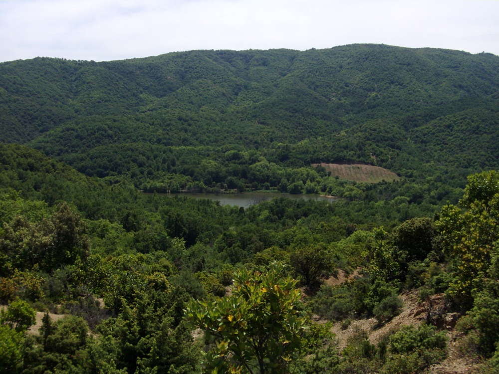
Skiti Lake
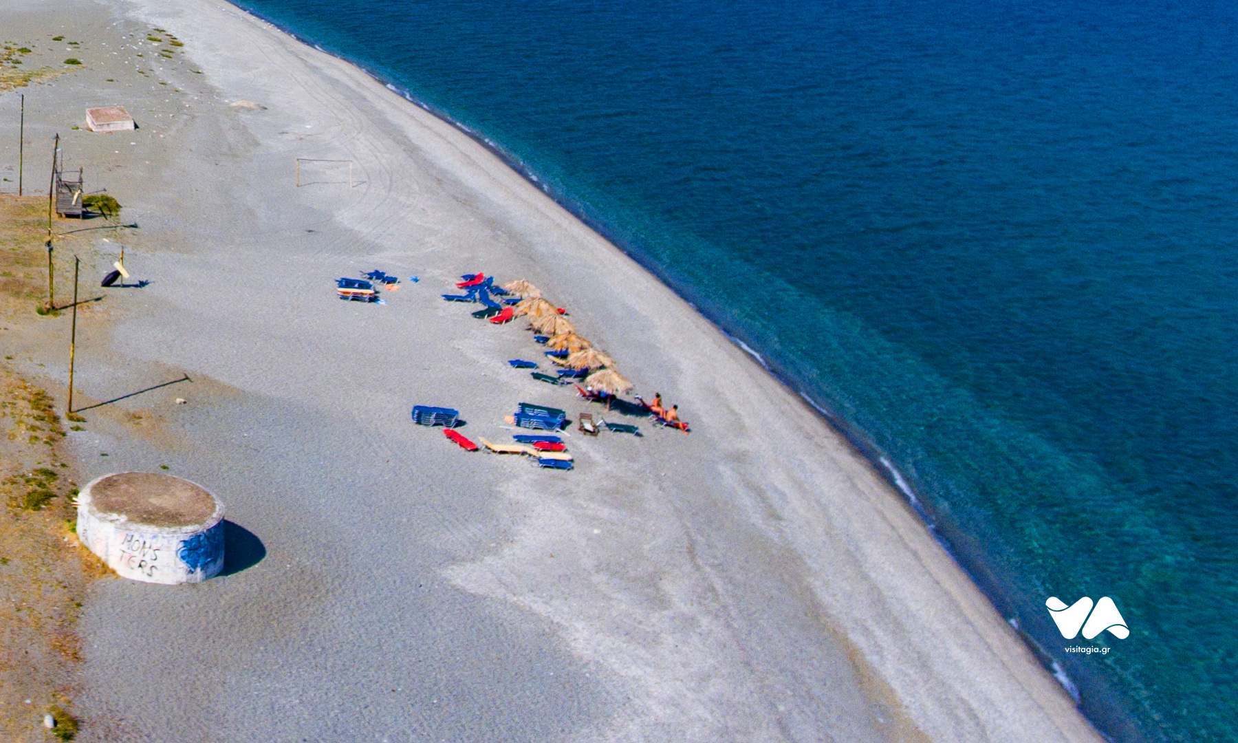
Step#11 Beach of Kato Sotiritsa.
The beach of Kato Sotiritsa is located between the beach and Agiokampos and Velika… With fine pebbles and sand deep and clean sea, with a large width of development leaves the constant bustle and creates in many places images of nostalgia of another era without having to go away.
Beach of Kato Sotiritsa
Step#12 Velika Beach
Most and last kilometers of the straight coastline of 11 km. The beach of Velika. Sand in some places but pebbles in most has a mixture of physiognomy and intensity with the other two settlements.
Unique view point that you do not miss ,the castle. A monument of Byzantine times with many imprinted stories in its findings in a walk of just 10 minutes from “Platanias”.
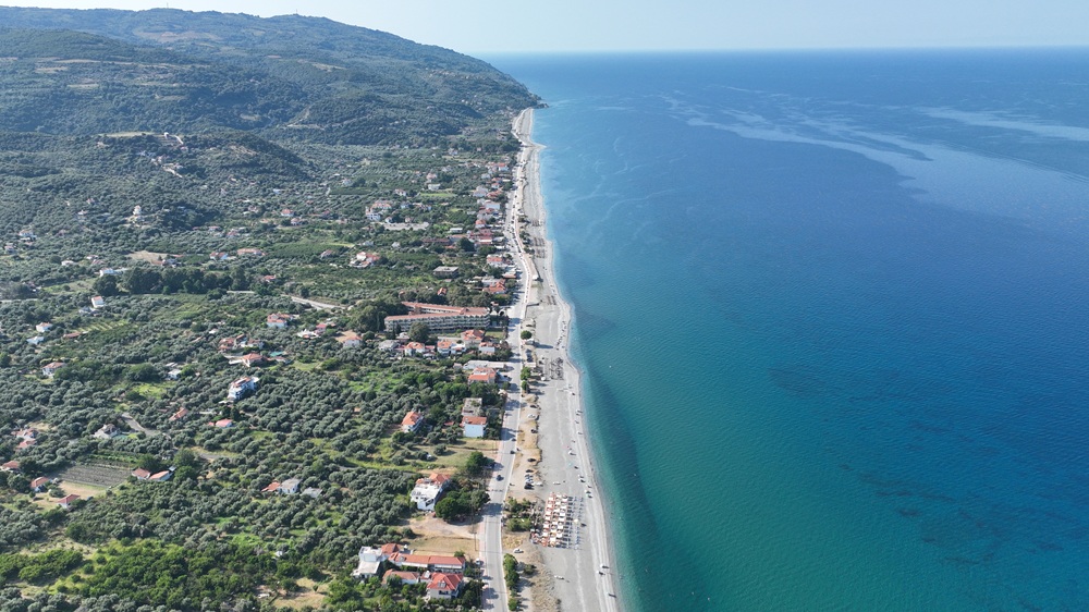
Velika Beach
Step#13 Velika rocks
Another very different picture. With your back to the long coastline and facing north you think you are lost…with what you are about to see.
On the road to Paliouria two small sea coves with sand and pebbles refer you to something exotic. It certainly has nothing to envy from the cosmopolitan coasts of Greece.
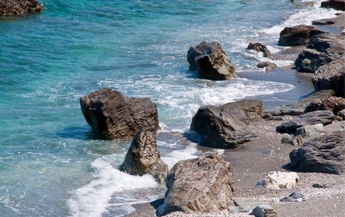
Velika Rocks
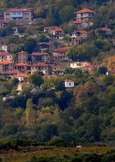
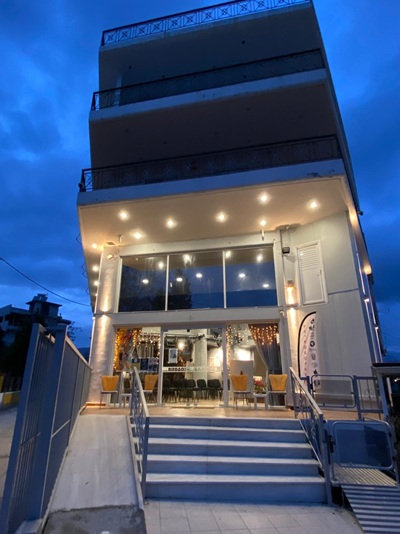
Step#14 Agia
The emblematic capital of the Municipality, a historical centre of the region that brings together the administrative and commercial services of the entire Municipality. The recording of the history of the place is already in progress by the historical research team of the Municipality of Agia “Dimitris Agrafiotis”.The town is built amphitheatrically at the foot of Kissavos, and at an altitude of 250m. in the heart of the Doti field. It is 36 km away from Larissa and is crossed by the historic Amyros River.
Of particular interest is the Mount of Kellia with the churches, chapels and monasteries located in the wider area of Agia, which contributes to the development of religious tourism. In the centre of the town, the Church of Agion Antonia and the spiritual centre ‘Lilian Voudouri’ dominate.
Almost all services are functioning, there is an extensive market as well as several catering and leisure facilities.
Agia


Leave A Comment