
The “journey” in Agia continues, following the steps suggested by the Municipality so that visitors can get to know the nature, cuisine, activities, beaches, and mountains of the area.
The Municipality of Agia is launching a series of proposals for the summer of 2025. With its 45-kilometer coastline, endless destinations, the beauty of Kissavos and Mavrovouni, and its vast cultural heritage, the Municipality of Agia proposes 45 “steps” for visitors this summer, for 45 days from July 1 to August 15.
Each destination, each kilometer for each day, is transformed into a “travel guide” for visitors who intend to discover or remember the beauties of the Municipality of Agia.
Every day, a new destination or activity fills the summer of visitors to the area with unique experiences and suggestions for relaxation, flavors, and recreation.
Step #33 | Paleopyrgos-Alexandriní
PALEOPYRGOS
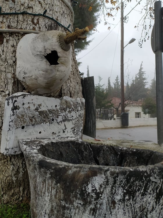
It also includes the settlement of Alexandriní. Formerly known as Nychteremi. It is a small village in the middle of a fertile valley in the Pineios Delta. It is the favorite village of A. Karkavitsas, who used Paleopyrgos as the setting for his short story “The Beggar.”
Paleopyrgos
Alexandrini
Between the river and the sea lies a rare beach, with golden sand stretching for about 2 km, right next to the mouth of the Pineios River. Water mixed with lush riverside vegetation, far from the noise of modern life. Waters mixed with lush riverside vegetation, far from the noise of modern life.
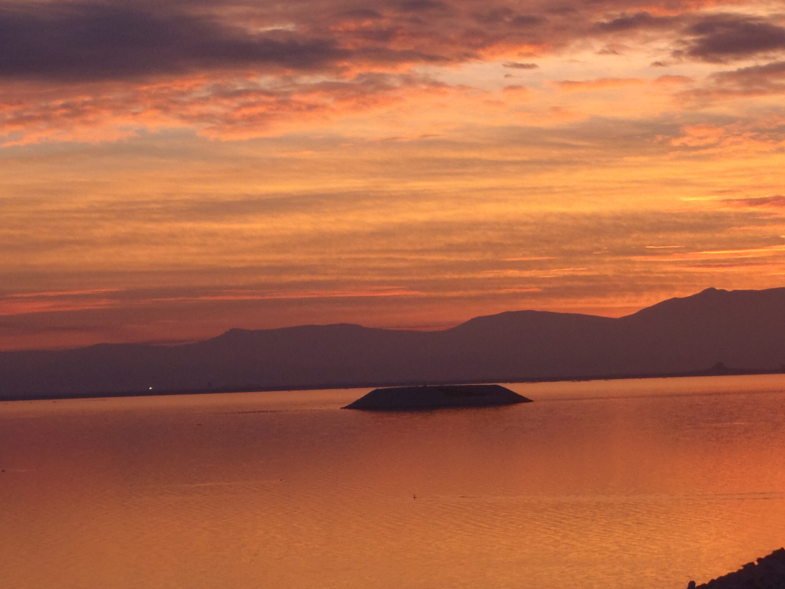
Step #34 | Strintzos-Pineios Delta
A pristine natural environment with herons disturbing blue crabs, a vast sandy beach covered with shells, an otherworldly setting with huts and people who do not speak, do not look, do not disturb, but simply coexist with the landscape.
Definitely not for everyone, but certainly for those in the know…
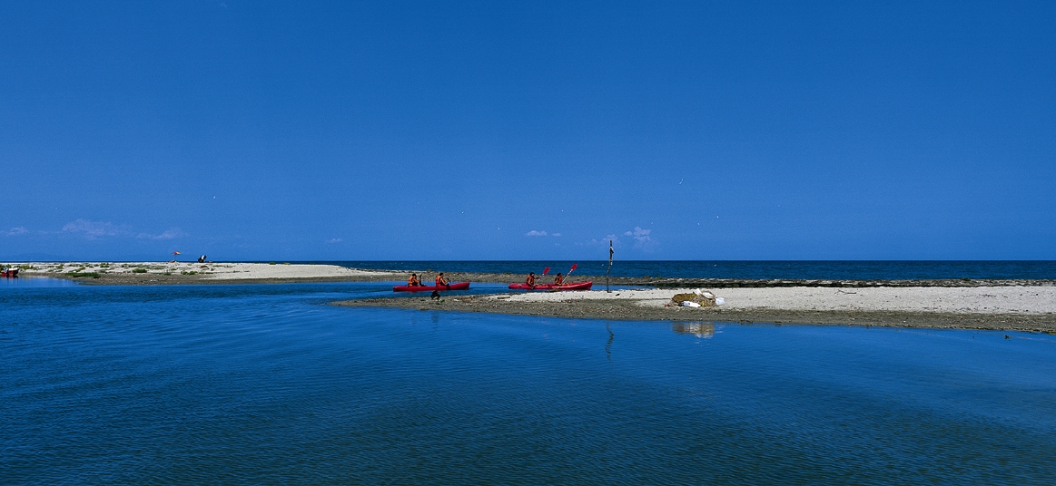
Some curious people who don’t speak Greek and their vans, campers who seem to have gotten lost, shadows of fishermen with their rods, a few boats leaving the fresh water for the salt water, some people who don’t like fancy swimsuits and didn’t buy any, images we will see.
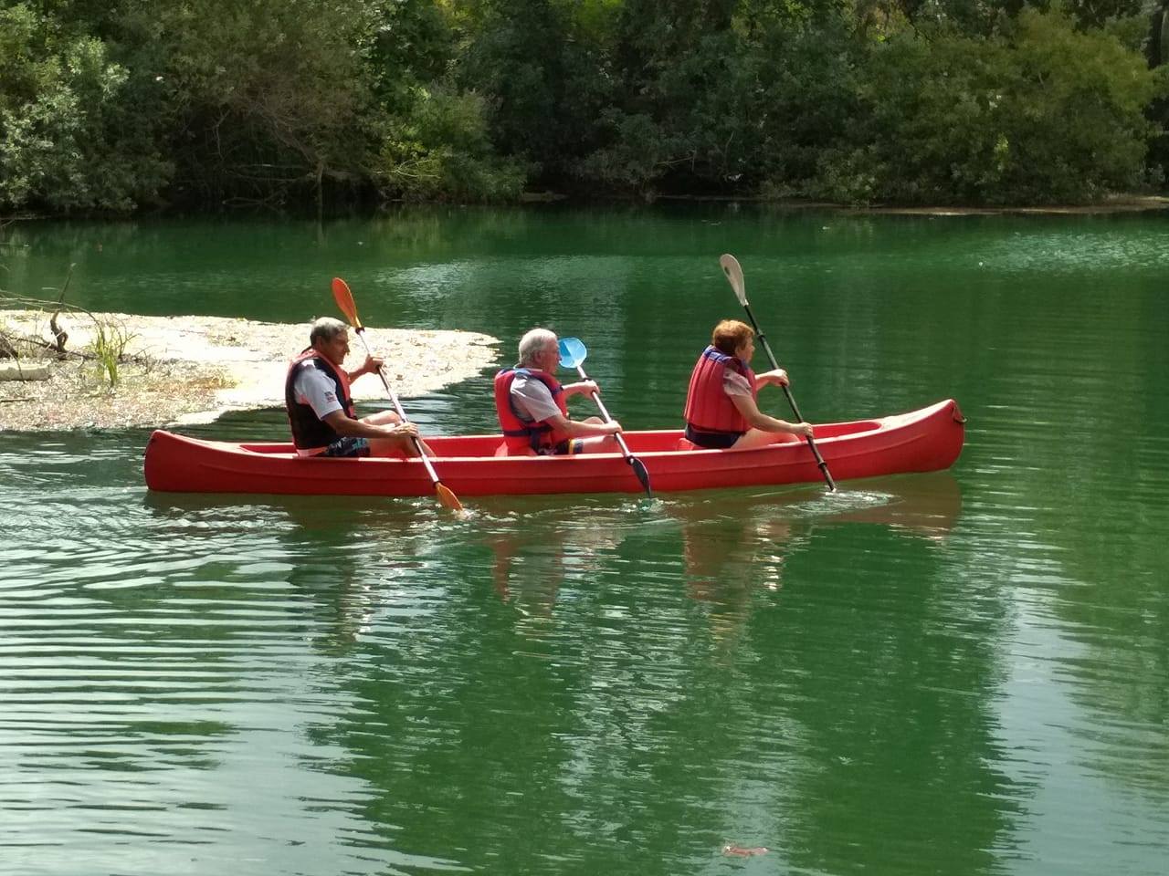
Often, colorful groups of people who have finished exploring the river with their canoes in an organized descent, but also some with binoculars who are probably interested in the cormorants, herons, and even the flamingos that are hiding. Nothing else…
Step #35 | Watermills (Neromyloi)
The village took its name from the many watermills that used to operate there. Watermills – mills for grinding grain, but also waterwheels for processing flax.
Watermills were and remain an important part of the village’s history, continuing to operate today in a modern form, serving hundreds of residents inside and outside the municipality with the processing of wool and the cleaning of blankets and carpets.
Step #36 | Parakarlia Route
Elafos
Almost ‘cut off’ from the other villages of the Agia Municipality, Elafos (formerly Voulgarini, named after the village’s founder Voulgaris). The newer name Elafos was given because of a legend that a deer would appear behind the church’s altar on August 15th and would then become the feast of the celebrants.
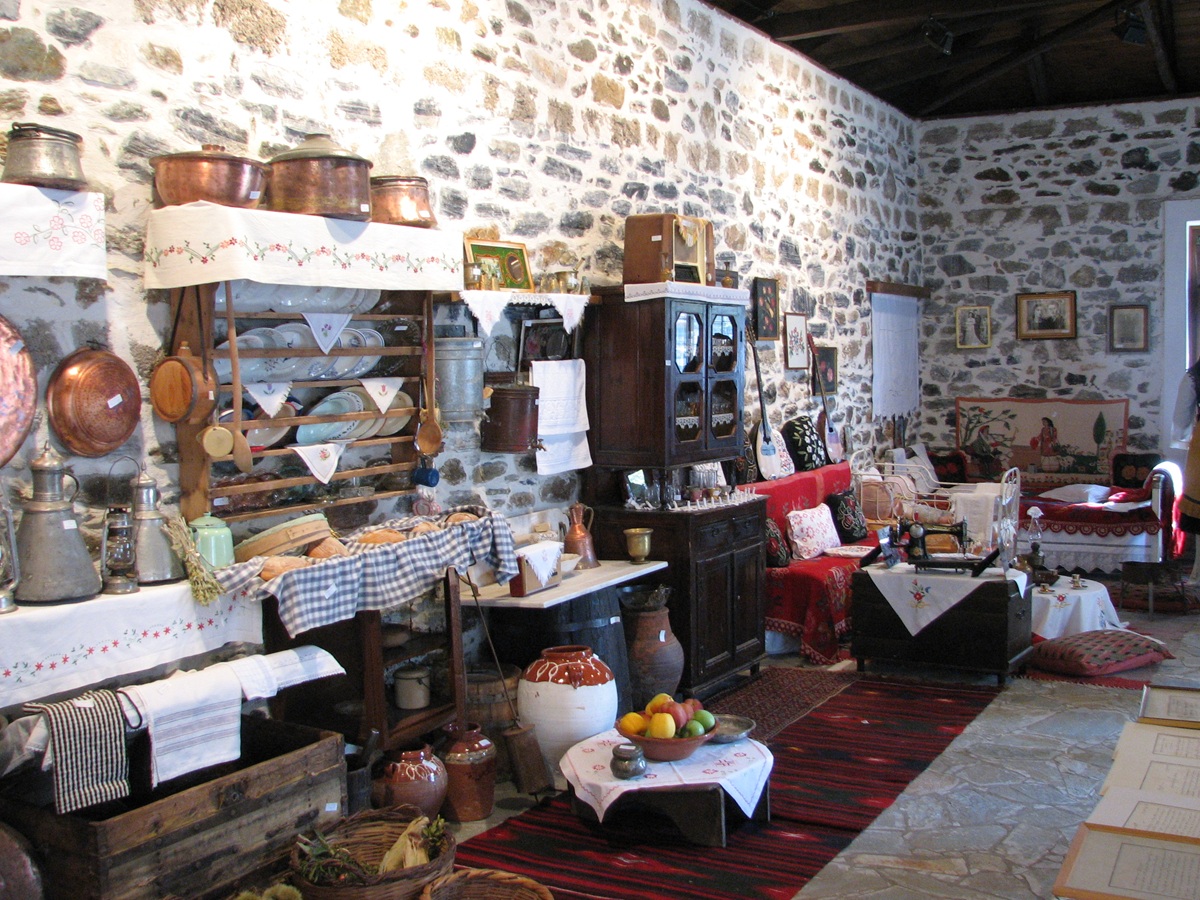
Places to visit: Important attractions in the village include the prehistoric settlement of Karla and the folklore exhibition in Elafos. The Mavrovouni forest in the heart of the village attracts our interest, as it is covered with oak, beech, and chestnut trees. Noteworthy religious monuments include the 19th-century Monastery of Kampanas and the monument to the village elders who were massacred in 1878 at the site known as “Skotomenoi” (the Slain), four kilometers outside the village.
Kastri
The location of the village on the northwestern shore indicates that it has been inhabited since Neolithic times: On the hill “Kastro,” on the foundations of the ancient Greek wall, the Byzantine castle was built, which was apparently the acropolis of the Byzantine city of Kestritza. During the Ottoman occupation, it appeared as Kessertitsjio-Kastritskioi, from which it was simplified to Kastri. According to Nikouno, the wall on the hill could control the Larissa Plain, the entrance to the Agia Plain, and the road to Kanalia and Volos. It could also control traffic on Lake Karla.
Some researchers identify Kastrí with the ancient city Kerkíneion, while others associate it with the mythical Amyro, where Asclepius was worshiped as a local god and the Argonaut Jason as a hero.
Step #37 | Demetra-Marmarini
Demetra (old name: Tzouksani)
The village of Demetra is the seat of the Municipal Unit of Lakeria. The old name of the village is Tzouksani.
Places to visit: Southeast of the village, a magoula (mound) was found, on top of which there is a tumulus from the Classical period. At the road bend heading south, between Demetra and the village Gerakari, stands the small church of Saint Nicholas of “Fonia,” while the hills east of the church are identified by some researchers as the Didymoi Kolones (Twin Columns), linked with Koronida, mother of Asclepius, near which the ancient Lakeria is likely located. The village’s old school building, dating from the late 19th century, is preserved.
Marmarini
The village is located at the foothills of Kissavos, roughly midway on the Larissa-Agia route. In the local Agia dialect, the village is called Marmariani.
Places to visit: A notable monument was the stavropegiac monastery of Marmarianoi, named—like the village itself—after the marble quarry on Mount Mopsion, about 3 km away. Near the Marmarianoi monastery, modern research places Byzantine Charmaine, where another monastery dedicated to the Virgin Mary existed, which was donated in 1277 to the Makrynissa Monastery. Several watermills are preserved, and Mycenaean-era tombs have been excavated. The stream running down from Kissavos through the village is renowned for its exceptional natural beauty, shaded by plane trees and forming small natural pools.
Step #38 | Agioi Anargyroi – Askitaria – Potamia
The Monastery of Agioi Anargyroi is located approximately 3 km outside Agia, heading towards the coast. It is reported to have been rebuilt around 1588 AD.
Its main feature is the two-story fortified tower with a low dome, which is still standing. It is a single-aisled basilica with a wooden roof, and its
elaborate frescoes date back to the 17th century, when it was renovated. It was last renovated in 1995
It is located in a lush green landscape with a small river nearby and surrounded by large plane trees. Opposite the river, in the hollows of a high rock,
the two hermitages of the monastery from the 12th century are preserved with hagiographies on the rock. Visitors can reach and see the hermitages up close by climbing the stone scaffolding carved into the rock.
The monastery’s forest is organized so that visitors can use it for picnics and recreation. It is known for its May Day celebration, which attracts large crowds and offers a unique festive atmosphere.
POTAMIA – an old Sarakatsani village
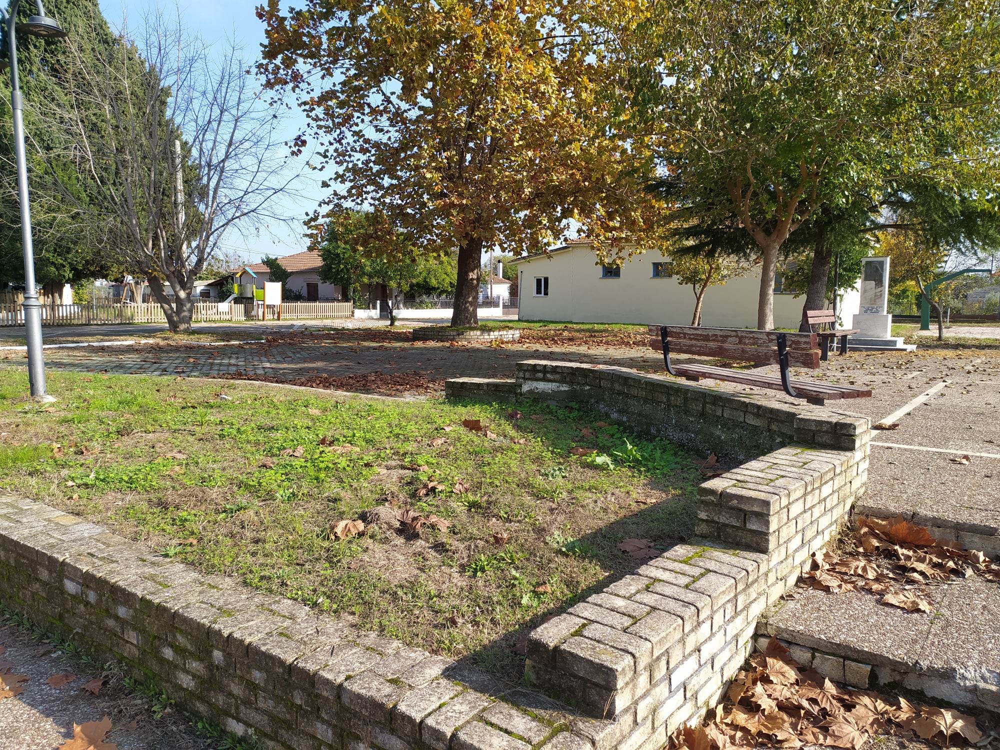
The village of Potamia is located 7 km from Agia on the old Agia-Agiokampos road. Built at the foot of Mavrovouni, it is surrounded by remarkable vegetation, including plane trees and chestnut trees. It has beautifully landscaped recreational areas in Kamara and Vryses.
Places to visit: An important stop for visitors and an opportunity to get to know the place and its inhabitants is the Folklore Exhibition with agricultural exhibits. A must-see for visitors is the Allamanos bridge and the “Vryses” location at the entrance to the village.

Leave A Comment